When I move to another part of the country, I like to gather as much information about the place as I can before I arrive there. (Who doesn’t?)
Where are the good bars? Where are the laundromats? Where is the grocery store? Where is the barbershop? Where can you get biscuits and gravy for breakfast?
Also: Where have cars crashed into deer?
Locations where cars have crashed into deer in the past could be helpful information to anyone who drives a car in the future, because those locations surely warrant some caution.
For Monroe County, Indiana—where I’m headed sometime in the next few weeks—the answer to this question is clear from this animated series of eleven maps I built from scratch out of data available on the State of Indiana Data Hub:
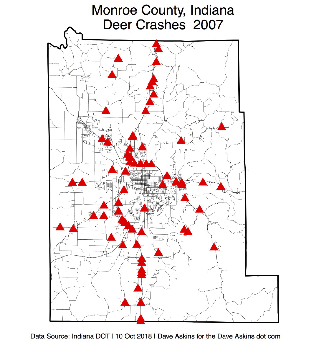
Even a cursory inspection reveals a clear pattern of crash locations—they’re all on roads. That means drivers should exercise caution anytime they’re driving on roads.
So whenever I drive on a road in Monroe County, I will look out for deer.
